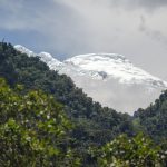
The Cotopaxi Volcano, the second highest mountain in Ecuador, lies a mere 35 kilometers outside of the capital city, Quito. A grand 5,897 meters (19,347 feet) high, this active volcano is popular with sports enthusiasts of all kinds. While Cotopaxi National Park closed for a short time after the volcano threatened a major eruption in August 2015, trails up to the refuge and glacier are once again open for business. Those trails just scratch the surface for possible Cotopaxi photography opportunities.
Best Places to Photograph Cotopaxi
Like other Ecuadorian volcanoes, Cotopaxi controls its own weather. Skies tend to be most clear in the early morning and late afternoon. During the day, Cotopaxi sucks moisture from the Oriente (the east) into the valleys surrounding its massive slopes. One minute, the volcano is clear as day. The next, its hidden in a shroud of mist and fog.
August, when high winds scour the Ecuadorian Andes, provides the best chance of a stunning shot with bright white snow and brilliant blue skies. However, great photo opportunities can happen at any point in the year. I have added dates to the photos in this blog post to help provide an idea of when Cotopaxi might offer an opportunity for a photograph.
From Cotopaxi National Park
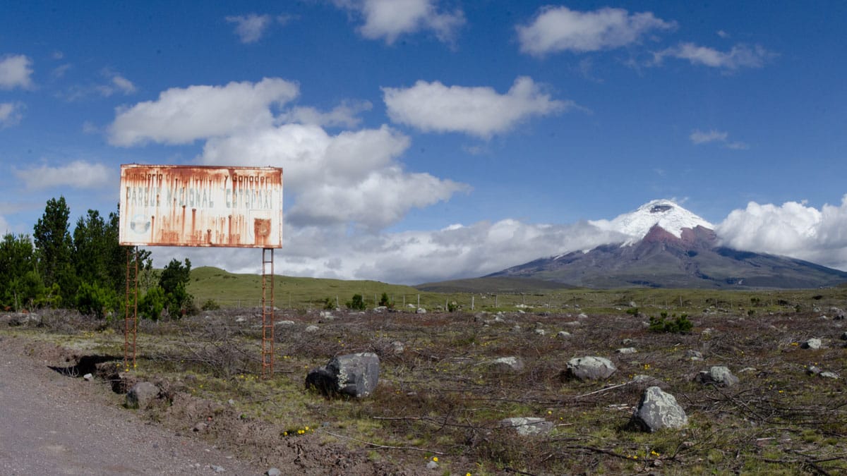
One of the biggest disappointments about arriving in Cotopaxi National Park through the main entrance is that there is no view of its namesake volcano. Visitors need to drive into the park for a few miles before they can see Cotopaxi. Be warned, the weather at the main entrance is likely to be foggy and overcast but that does not mean the volcano will be enshrouded… or at least, not all day.
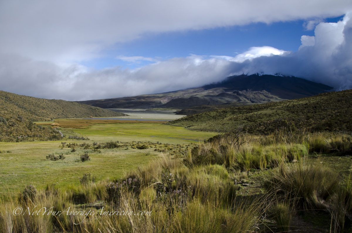
From Laguna Limpiopungo, Cotopaxi National Park
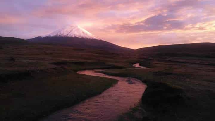
One of the classic hikes at Cotopaxi National Park is around a seasonal, wetland lake called Limpiopungo. On clear days, the Cotopaxi Volcano looms over the lake and easy photos are had along the roadside. However, the better shots are found along the trail on the far side of the water. While we have never managed a shot when the water is at its highest, we have seen beautiful photos with Cotopaxi’s mirror image reflected in the water. Still, the combination of high reeds, wetlands, and the volcano make an impressive photo even without the reflection.
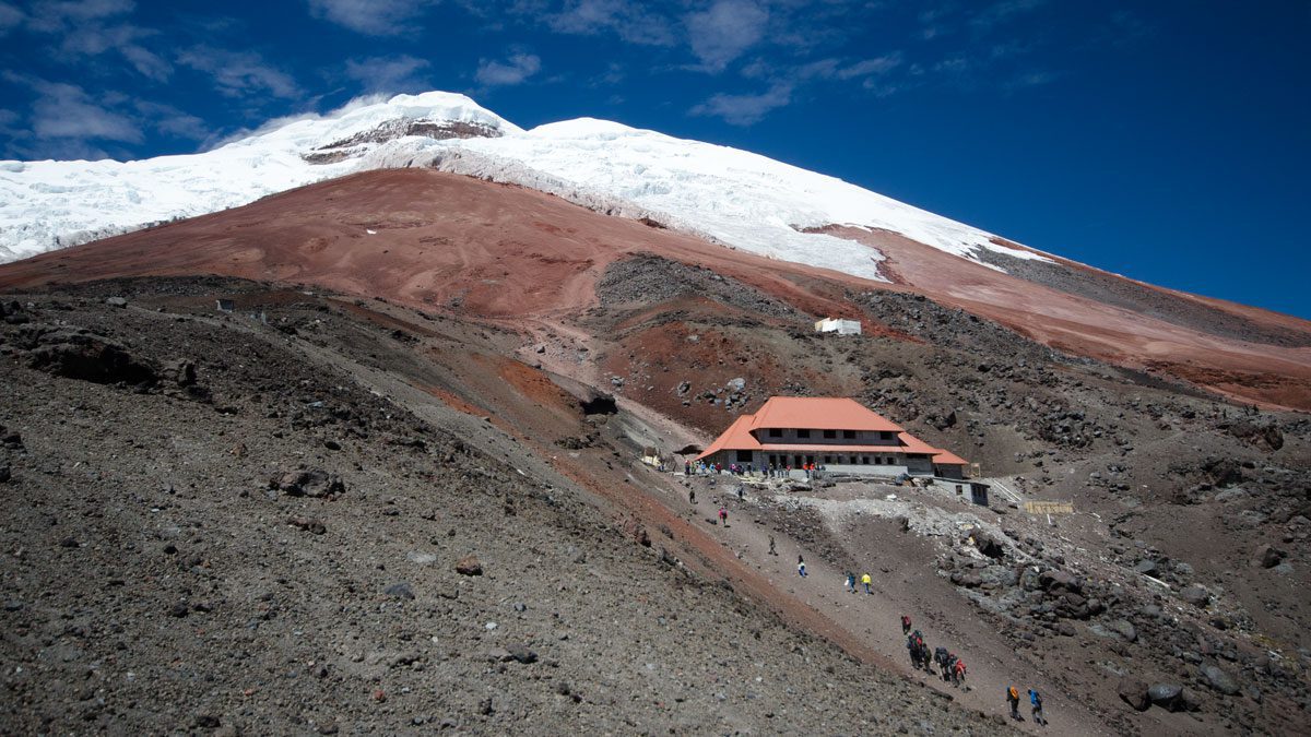
From The Trails to the Refugio, Cotopaxi National Park
If you are planning to hike up to the Refugio at Cotopaxi National Park, head out early to take advantage of potentially clear skies. We recommend hiking the switchback trail up. While it is not possible to see Cotopaxi along the entire route, this path provides one of the best photos of the Refugio with Cotopaxi in the background. Of course, choosing the «up-the-gut» trail means Cotopaxi serves as a kind of magnet, sucking you up the trail. If you would like more information about either trail, please read our article about this hike.
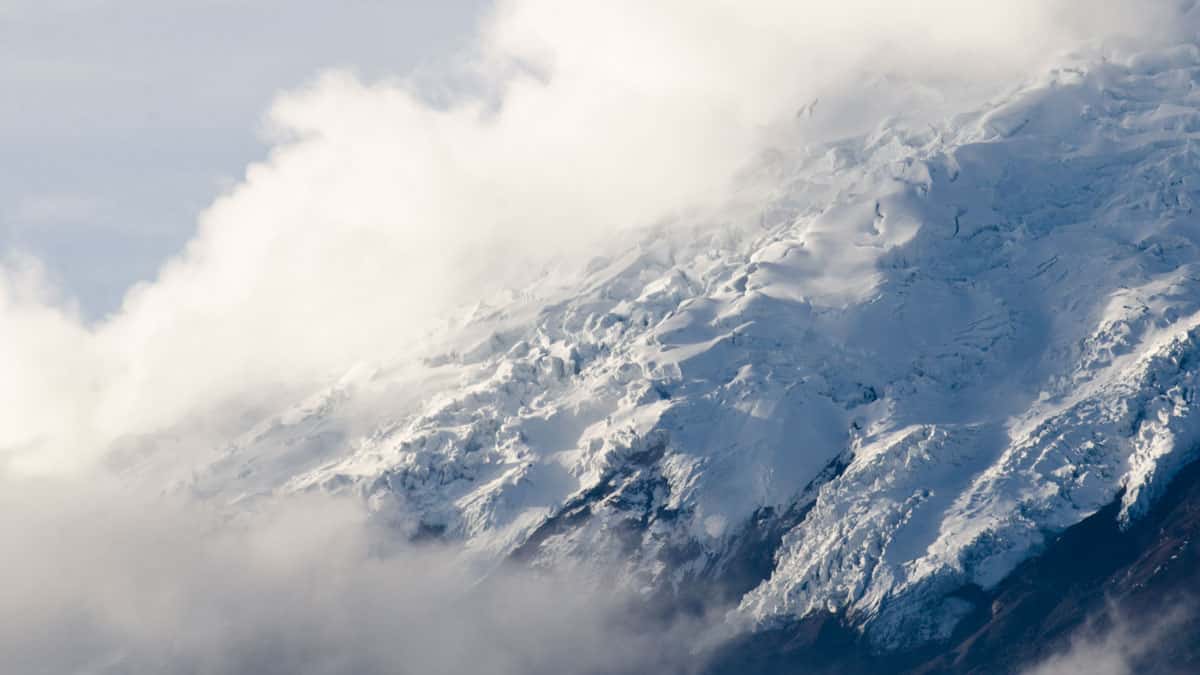
From The Glacier Trail, Cotopaxi National Park
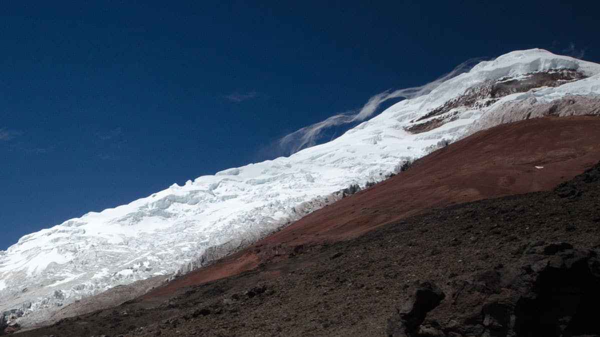
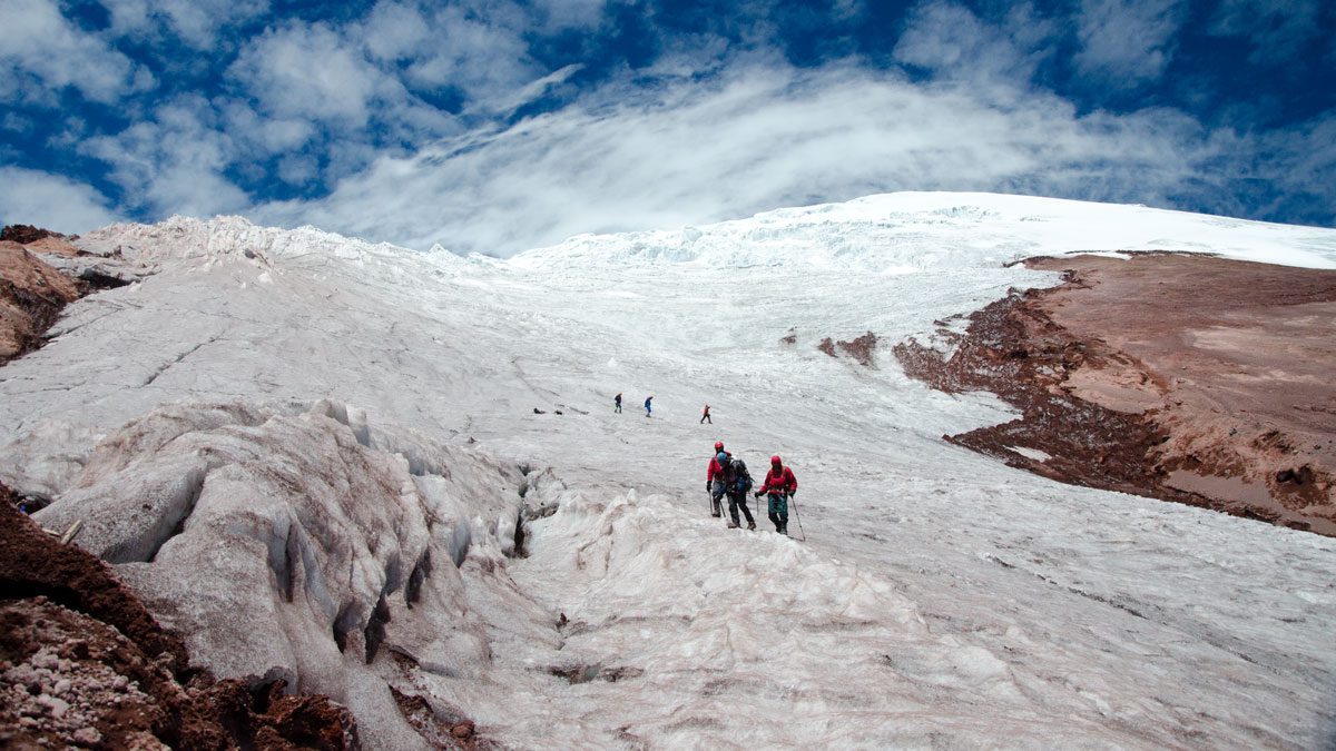
If you made it as far as the Refugio and you are not struggling from hiking at high altitude, why not trek a little further? A trail from the refuge leads up the mountain towards the lowest point of the glacier. While we don’t recommend hiking on the glacier without the proper equipment, there are some great photos to be had from the safety of the dry trail.
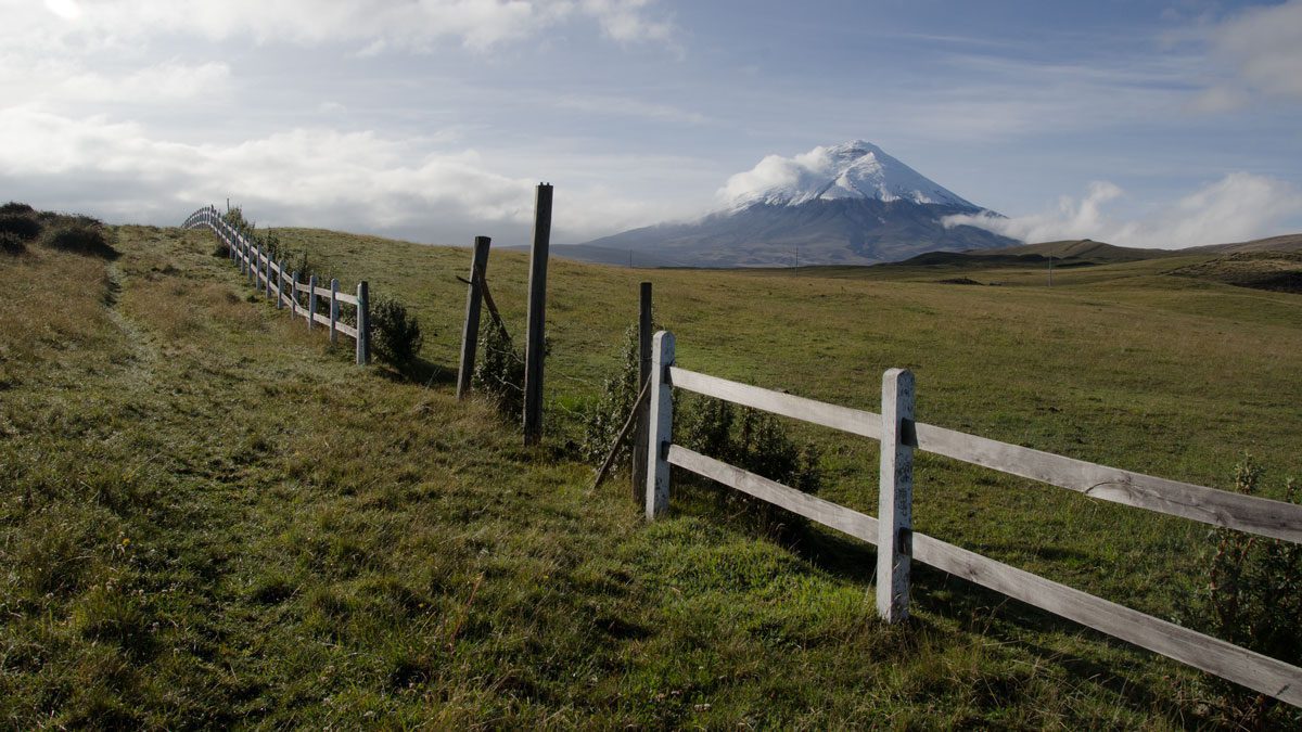
The North Entrance of Cotopaxi National Park
For some reason, winds and weather patterns often clear on the northern side of the Cotopaxi Volcano even while other views are obscured. This makes views from the north entrance some of the best in the entire national park.
FROM Lodges on the Ruta De Los Volcanes
Some of my favorite photos of Cotopaxi come from our overnight stay at Los Mortiños, one of a couple of nice lodges built along the Ruta de los Volcanes. These lodges are located on a backroad accessible from Machachi. Los Mortiños is especially nice because their large herd of alpacas and llamas tend to roam in the foreground, providing views iconic to the Andes.
From Quito
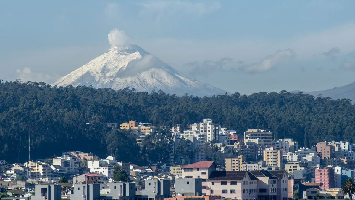
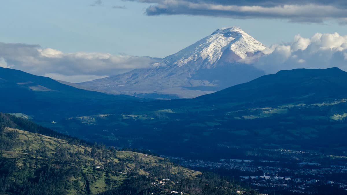
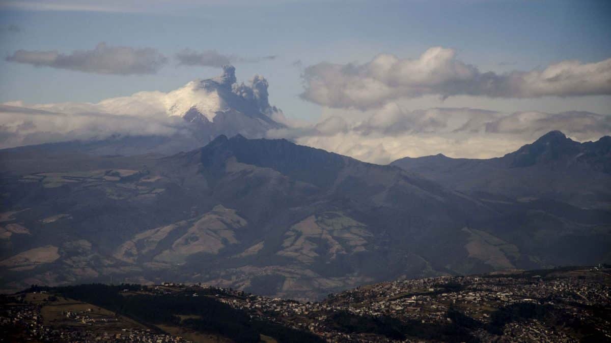
Cotopaxi is the single nevado (snow-capped mountain) that is easily photographed from multiple places in and around Quito. All a photographer needs is a little height and a direct view towards the south.
For some of the best views, we’ve learned to take advantage of pedestrian bridges that cross many of the major roads in the heart of the city. Just that slight lift can make a huge difference. But hotels throughout the city also provide great opportunities for photos. One of our favorites is from the elevator and upper dining room at the Swissotel.
Along Simón Bolivar, Quito
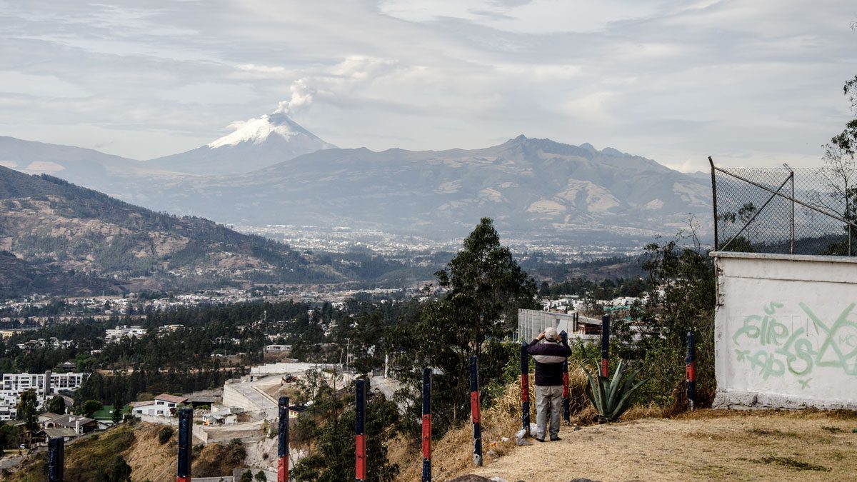
While driving around the ring road of Quito or heading down into the valley of Cumbaya, we use many of the official turnouts to take photos. Please avoid stopping on the side of the road for photography. It is generally unsafe and pedestrians are injured every year.
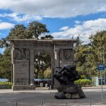
From the Teleferico or Templo de la Patria, Quito
Moreover, locations on the east side of town, like the Teleferico and the grounds of Templo de la Patria, provide enough height to get a good view of the mountain. Check out the map for exact locations of a few of our favorite spots.
Map of Best Spots to Photograph Cotopaxi
We’ve marked our favorite spots on this map! May you have a great time tracking down your own favorite spots!
Teleferico
Avenida Simón Bolivar, near Conocoto
Avenida Simón Bolivar, near Cumbaya
Refugio Hike, Cotopaxi
Laguna Limpiopungo
North Entrance of Cotopaxi National Park
Los Mortiños
Pedestrian Crossing on Eloy Alfaro
Park on a side street and walk out on the pedestrian crossing for great views of Cotopaxi.








0 comentarios