First published on 9 de Julio de 2015 • Last updated on Mayo 8, 2017
This page may contain affiliate links; if you purchase through them,
we may receive a small commission at no extra cost to you.
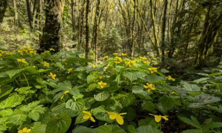
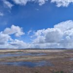
A small river called the Rio Pita originates somewhere along the slopes of the volcano Cotopaxi. It has carved its way through a fertile valley filled with farms and hidden itself in steep canyon walls, creating a multitude of cascades and waterfalls, including the elusive Rumibosque. The entire route is worthy of exploration and although the Canton of Rumiñahui advertises the area as a major tourist destination, many of the small privately owned cascades are difficult to find and hiking trails are often poorly marked.
 We found Cascada Rumibosque by chance. In fact, our plan was to visit a better known waterfall but we got lost along the way, wandering along an old cobblestone road that meandered through wheat fields and pastures full of beautiful horses that looked as if they could come from racing stock. When we arrived at a small hydroelectric damn with a dodgy looking wooden bridge, we stopped to reassess.
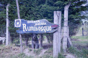
A guard came out to tell us we could not park our car so I took the opportunity to ask for directions and he suggested we turn around and go back the way we came. The road forward would eventually arrive in the small town of Pintag but our helpful guide seemed unsure if the road was passable all the way through. We took his suggestion and had given up finding a waterfall that day. 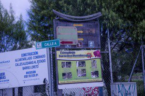 But, lo and behold, on the return trip we noticed a sign to the Rumibosque Waterfall. The irony was that the sign was nailed onto a wooden sign below it, one that directed us towards the original falls we were looking for but were unable to find. As is usual when exploring the backroads of Ecuador, we shrugged our shoulders and turned off to find our new destination. Fortunately, the owners of the small reserve called Rumibosque had placed signs at intersecting roads making the route not just easy to follow but possible in the first place.
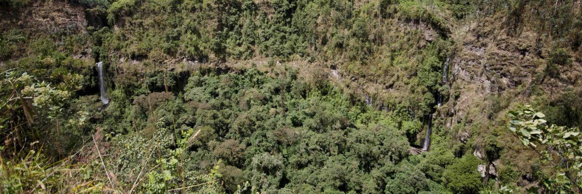
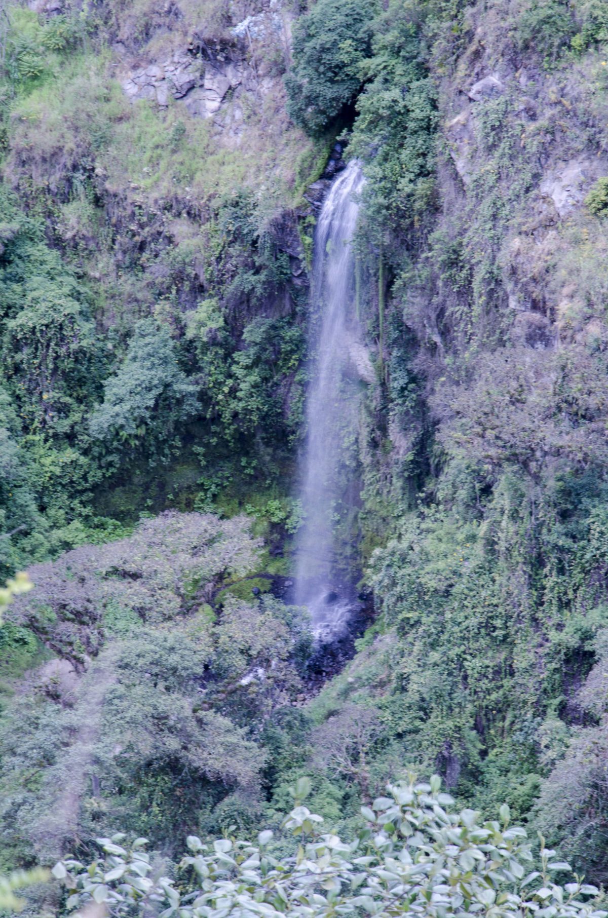
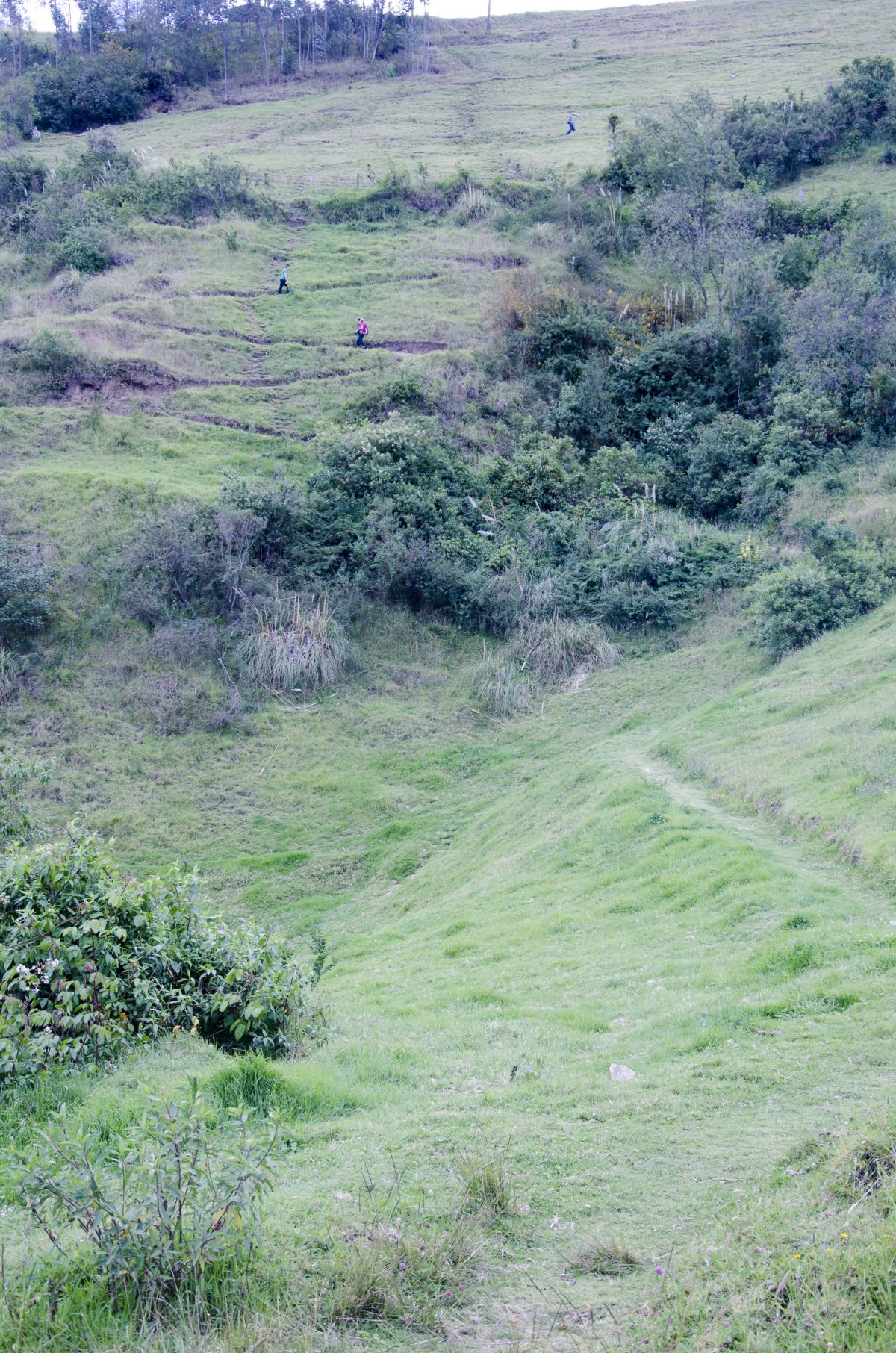
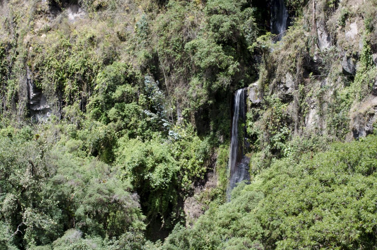
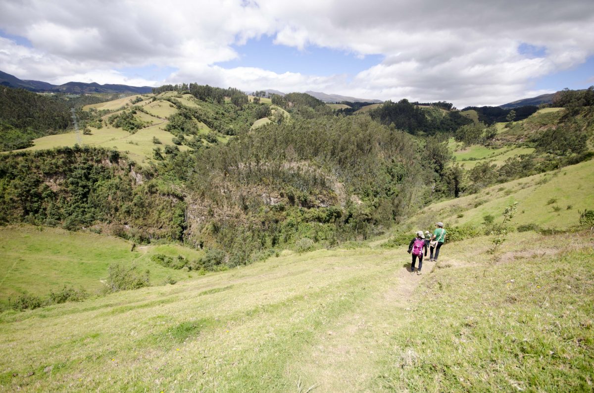
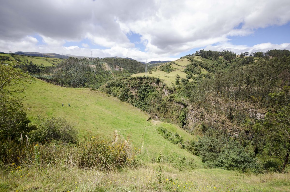
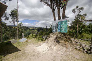 Once you arrive at the small eco-reserve where they are in the process of building a small lodge, you’ll just park your car. From here, you will be on foot. The trailhead is easy to see and directs hikers to several possible points but does not give great distance information nor a map to show you where the different sites can be found along the trail. Fortunately, to arrive at Cascada Rumibosque, you will just hike down and follow the most used path. The trail is switchbacked through a hillside pasture and drops fairly rapidly. It leads very clearly to a view point that looks over the river bend below and at the cliffside immediately across. Two waterfalls are very easy to see in the distance and a third, the Cascada Rumibosque, is more difficult to see though it is easy to see where the Rio Pita suddenly narrows and disappears into nothingness.
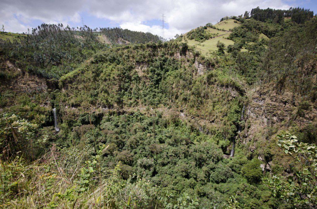
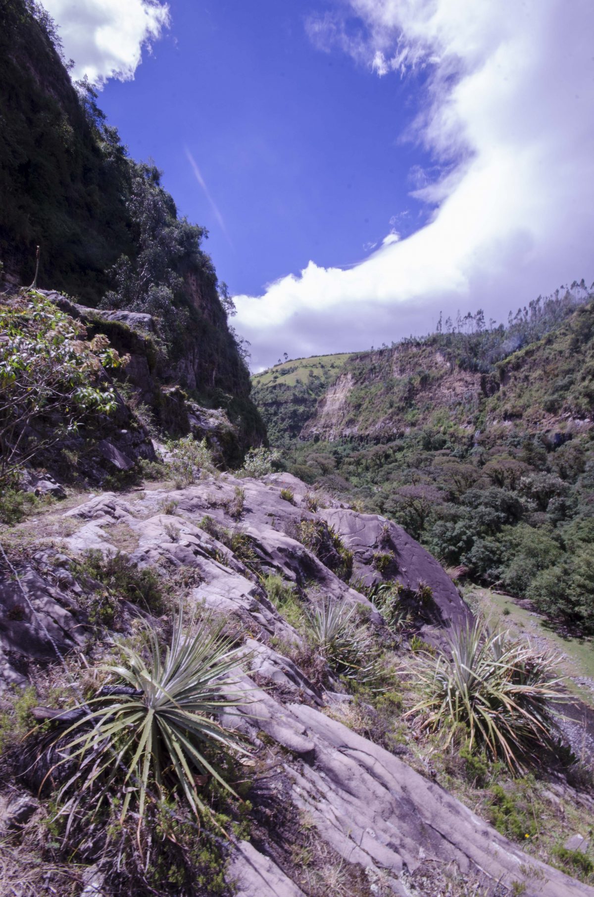
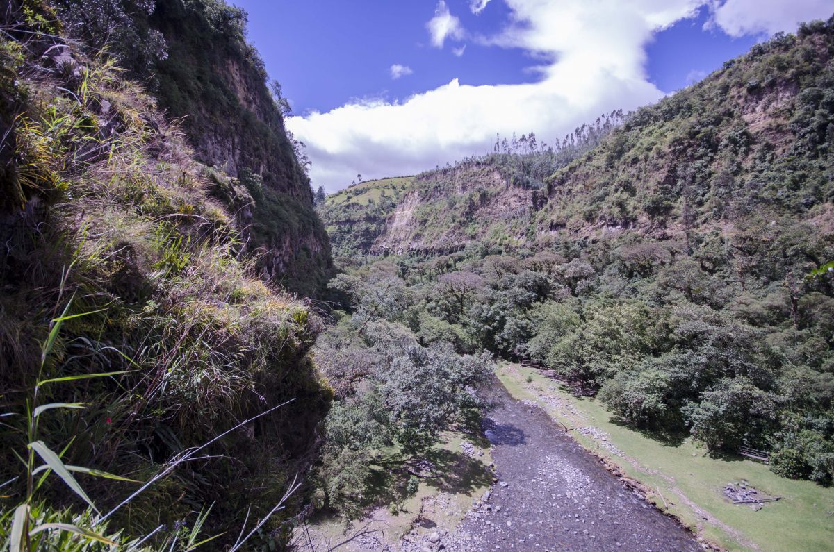
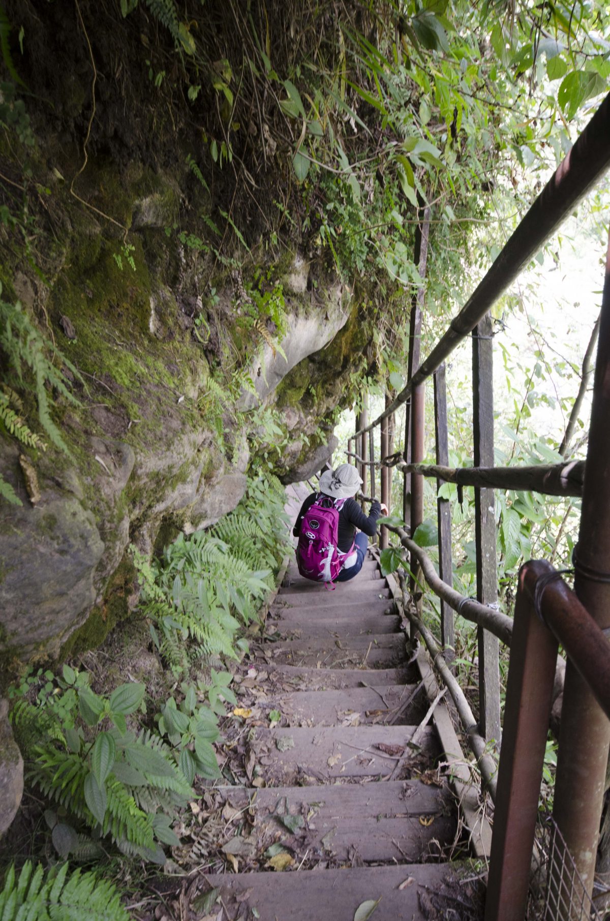
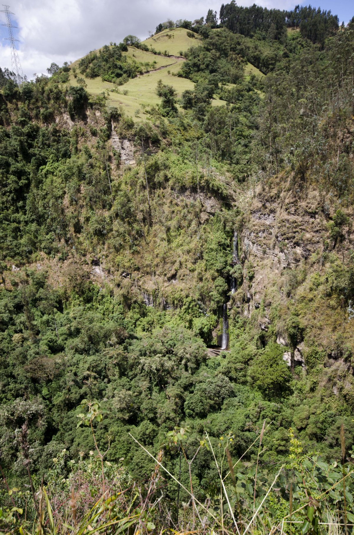
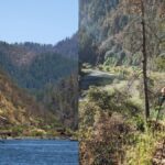
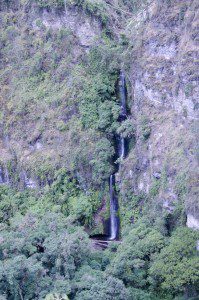 The trail continues down and drops so steeply along the canyon walls that the owners of the land have build several sets of metal steps to make the trip easier. The structures are old, obviously built a couple of decades ago, and are in need of maintenance. But they appear to be very safe up to the point of the next lookout, though the jerry-rigged railings do make one wonder at times. But the next wide spot in the road is a rocky meadow area where the Rio Pita suddenly drops to the lower valley below. It would make a great lunch spot with a combination of sun and shade. Views of the canyon wall across the way include the two waterfalls, one a three stage beauty that was impressionable even from the distance. It was impossible to see the cascade Rumibosque as we were directly on top of it. But the trail keeps leading down, directly next to the waterfall itself. And the river valley below beckons, its gravel beach offering easy entrance to the water, a small rocky trail crosses the river itself and leads to a wooden bench where you can rest after the long hike. It looked like a great final destination.

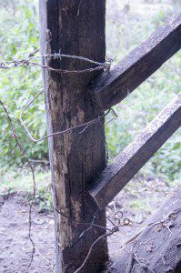 And now comes the heart break. At least for us. Beware hiking further from this view point. While the trail thus far had been mainly in good shape, the steps from this point on were questionable. Many seem supported only with baling wire that was then wrapped around small bushes and trees to provide some level of support. At one point, we realized that an entire landing along the stairway was supported only by rusty brown cables wrapped the metal structure of the stairs and lead back up the mountain side to a rocky hillside above. And the hiker among us who ventured furthest down said the final steps are outright missing and would require a leap of faith down below and then some undiscovered method to get back up for the return. We chose to play it safe and head back.
 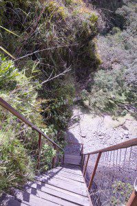 The vistas up to this point had made the hike worthwhile but there is an appeal to the gravel banks and river bend below. A small bench sits in a sunny outcropping, inviting tired hikers to rest and enjoy the sunny space while watching the waterfall do what it does so well. Truth be told, we were never able to see the Cascada Rumibosque as it remained tucked behind the trail and was hidden from view by pampas grass and overhanding bushes. To see the waterfall, one would need to hike down those less than safe stairs, gambling a little too much for our sense of safety.
-
- One of the Waterfalls at Rumibosque
-
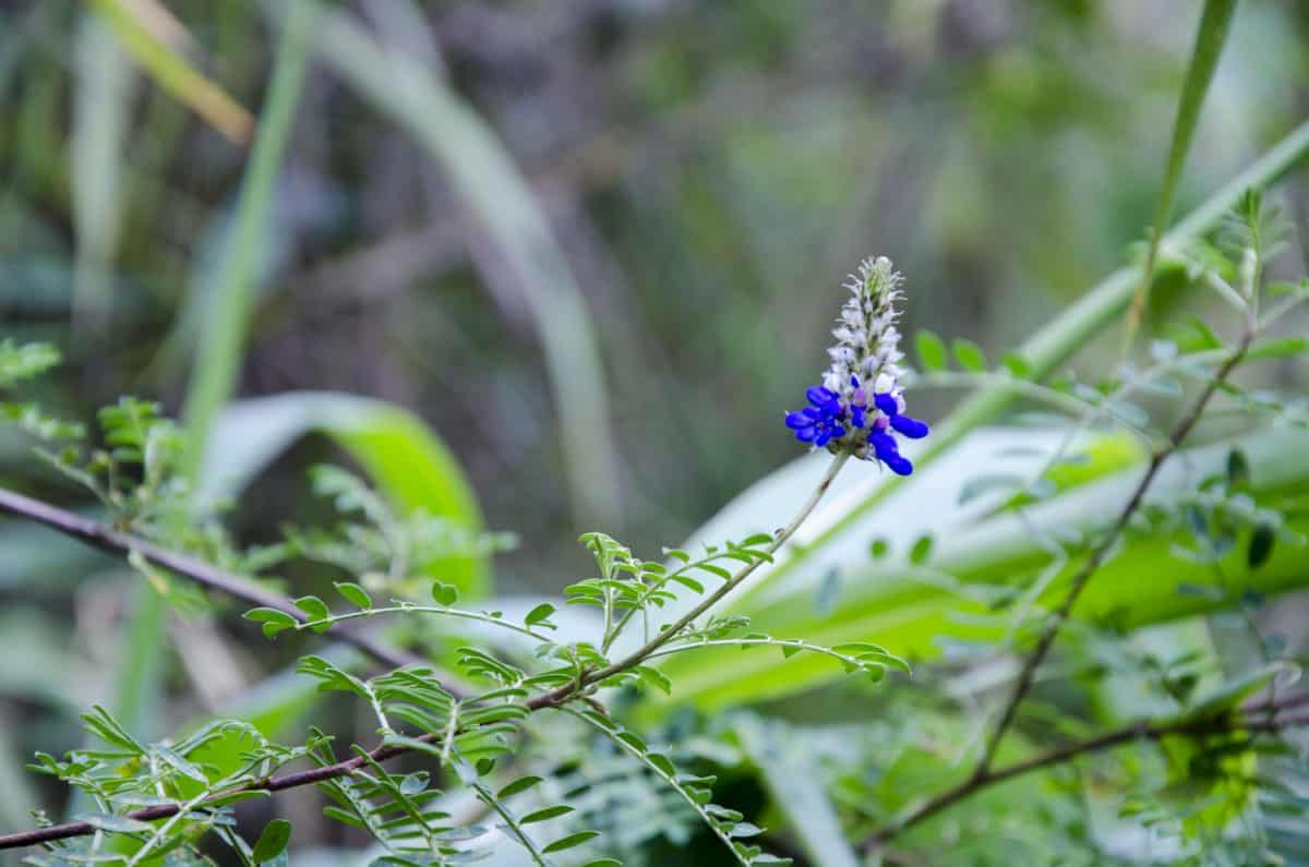
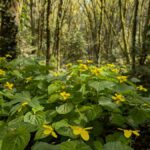
- Wild Lupine
-
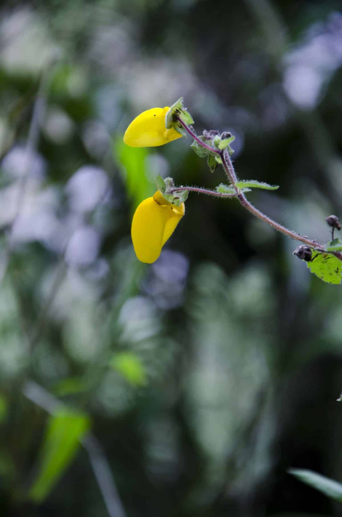
- Slipper Flower
-
- Trail back up
-
- Rocky outcropping
-
- River Valley
-
- Waterfall from a distance
-
- Trail gets a little tight
-

- Canyon Wall
-
- Start of the trail
-
- Trail switchbacks across pasture land
-
- Canyon Wall
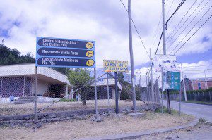
The map we’ve included below shows the turn off points that are marked with signs but the final destination point we’ve marked using educated guesses. I think it is time to invest in a GPS so that we can mark our google map more effectively. But if you find the town of Selva Alegre and drive through on the one way road past all the restaurants selling barbecued guinea pig, you will come to an intersection with signs towards the waterfalls. All waterfalls are to the right, along the Ruta de los Volcanes. Supposedly if you follow the road to the end, you can end up at the North entrance of Cotopaxi National Park. A short distance down this road, you will encounter a left turn with multiple signs directing you to different tourist destinations. To head towards Cascada Rumibosque, take the left turn and then the immediate right turn (towards the hydroelectric dam). Follow this road to the next intersection where you will turn right. In the next populated area you will see a sign for Cascada Rumibosque directing you to the left. Follow that sign and the rest of the route is well marked. If you arrive mid-week, you will find yourself in a big empty parking lot at the trailhead. On the weekend, we expect that the parking lot will not only be busier but that there will be an attendant waiting for a small donation to watch your car.
[ready_google_map id=’40’]


